The Grand Time
Tom's Journal
May 25 2007 - Day 10

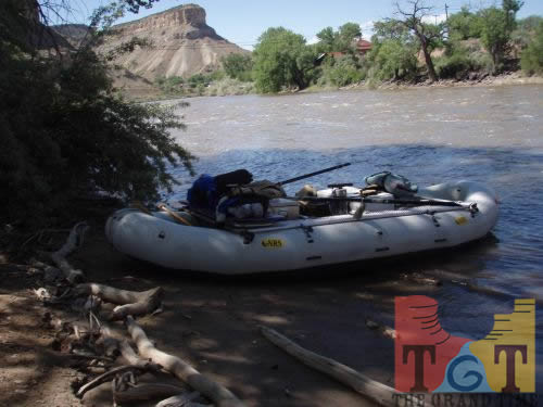
Today marked the maiden voyage of our eighteen foot oar raft and the first full day I have not been in my kayak.
At eleven am we shoved off from just downstream of the Interstate 70 bridge over the river at the east Palisade exit. If you are passing through this area on the Interstate, you can easily spot this point as it is a high, curving bridge just downstream from a dam (the second of two we had to portage the previous day).
Within a mile we floated across a river-wide diversion that was easy to navigate because the river is still running high. This is the most urban-like setting through which the river runs, with many bridges and some buildings visible from the water.
While it is still running high, the river’s flow has dropped about 20% from what it had been three or four days ago. My guess is that this is due to the recent cold weather which has slowed or- at the highest elevations- stopped the melting of the ice and snow.
For my partner Lars Hard this translated to a very long day and some of the night of rowing on slow water. The only break came when my brother Dan met us with some take-out food at the same point where another brother Dave and his eighteen-foot cataraft joined us.
At the confluence with the Gunnison River we saw several kayakers surfing on a large wave and we wondered aloud why we weren’t in our little kayaks enjoying the fun. At a time like this what would a junction such as this be called? Grand Junction.
It took us until almost five o’clock to get to Loma, the farthest downstream point where the river is visible from Interstate 70. This is also the put-in point for folks who want to float a beautiful and very mellow portion of the river as it passes through Ruby and Horsethief Canyons.
Most people take two days to enjoy the classic desert scenery found along this stretch but we (or more accurately, Lars) had to keep pushing to get to the Westwater Ranger Station in time for the following day’s launch.
Lars was up to the task, and at about 10:30 pm he brought us to shore at the day’s destination. This had better be the longest mileage day of the whole journey, a whopping 57 miles. I can’t be more appreciative for Lars’ effort; quite obviously I couldn’t have done it without the one and only Lars Hard.
My hands are just as thankful because they are getting pretty worn out from the beating they are taking from the water, sun and kayak paddle. Speaking of the sun, the weather is getting closer to normal for this time of year, 70s and 80s in the day. Now if we could just have a little less upstream wind!
 Mile 256
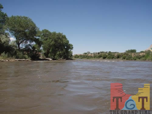 Mile 257
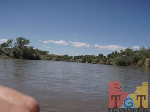 Mile 258
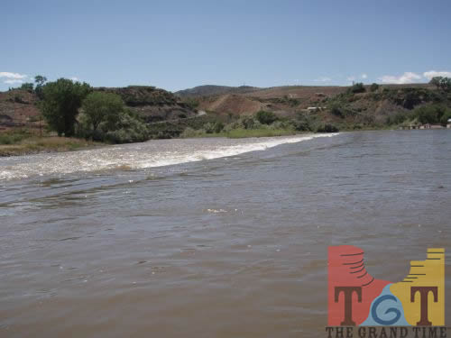 Mile 259
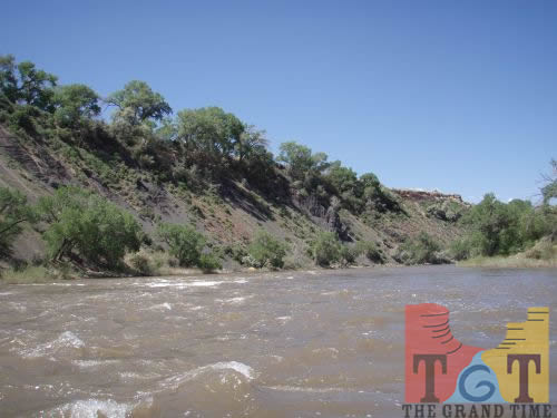 Mile 260
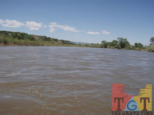 Mile 261
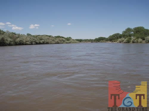 Mile 262
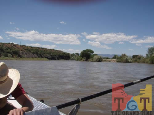 Mile 263
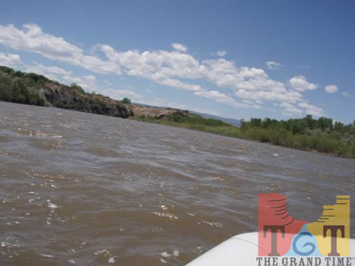 Mile 264
 Mile 265
 Mile 266
 Mile 267
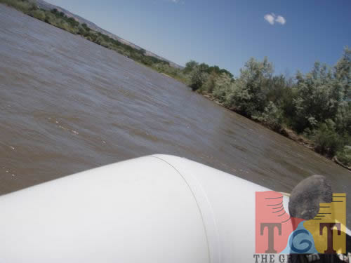 Mile 268
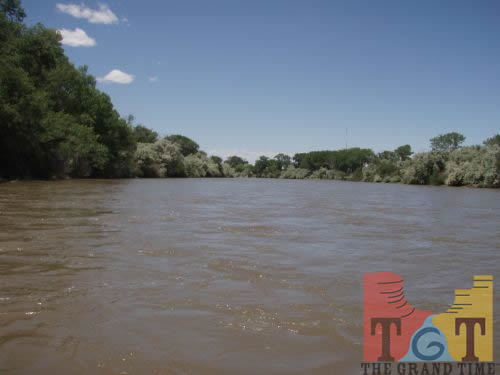 Mile 269
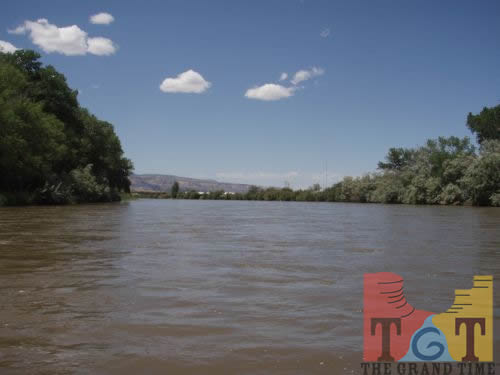 Mile 270
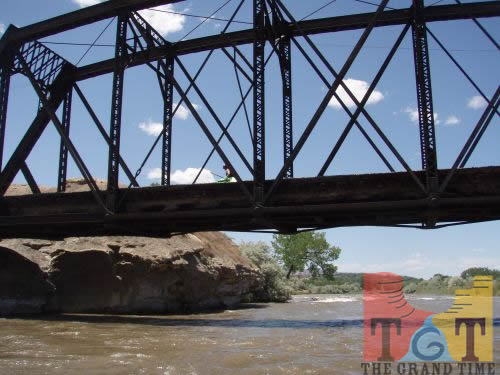 Mile 271
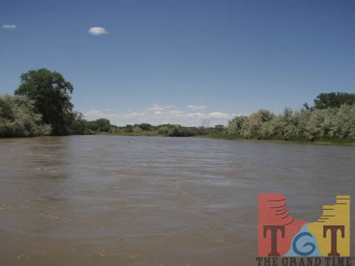 Mile 272
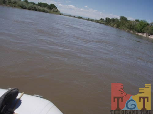 Mile 273
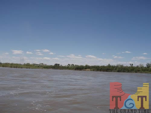 Mile 274
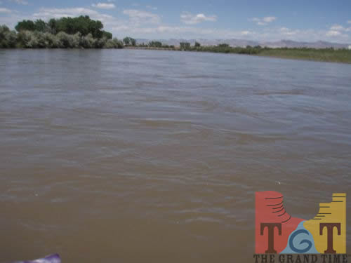 Mile 275
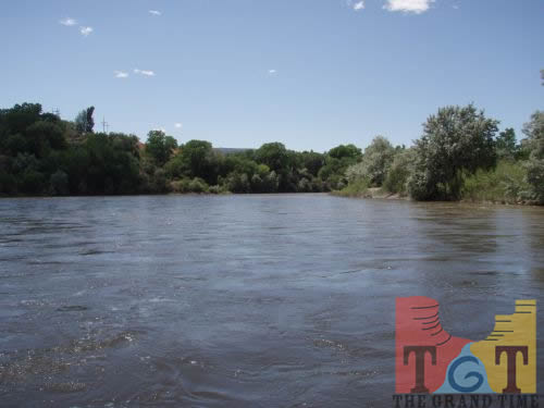 Mile 276
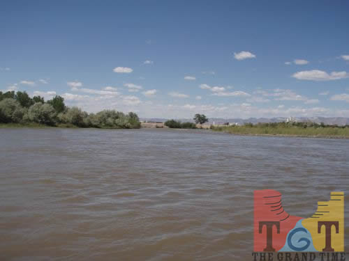 Mile 277
 Mile 278
 Mile 279
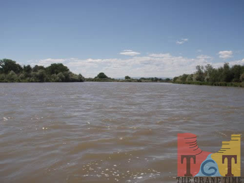 Mile 280
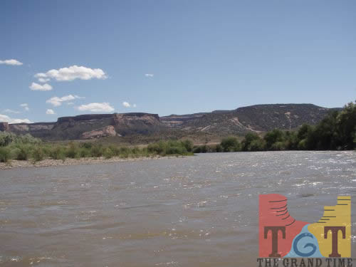 Mile 281
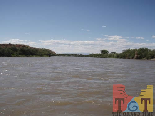 Mile 282
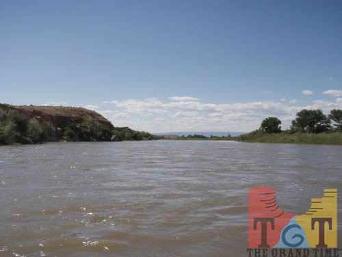 Mile 283
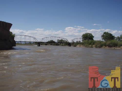 Mile 284
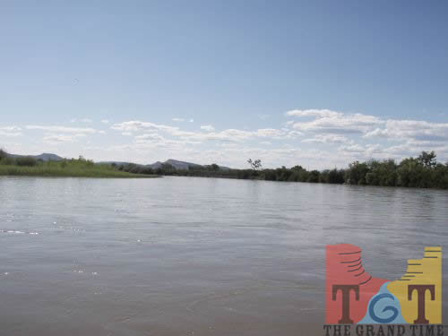 Mile 285
 Mile 286
 Mile 287
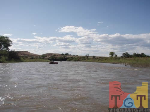 Mile 288
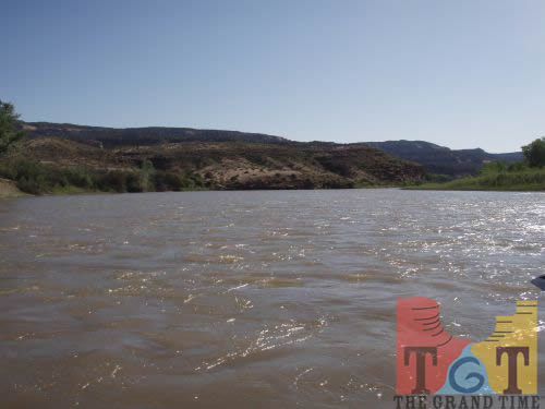 Mile 289
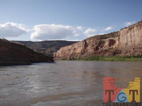 Mile 290
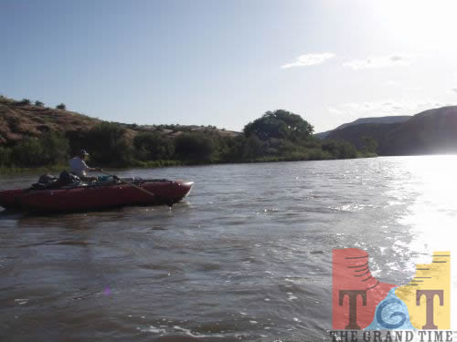 Mile 291
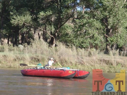 Mile 292
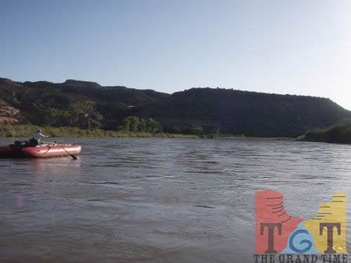 Mile 293
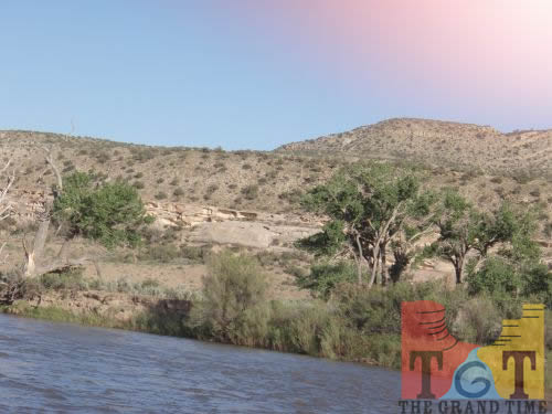 Mile 294
 Mile 295
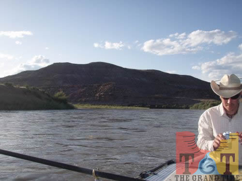 Mile 296
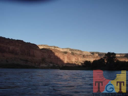 Mile 297
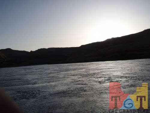 Mile 298
 Mile 299
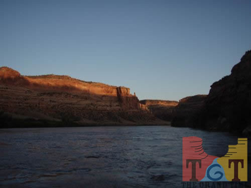 Mile 300
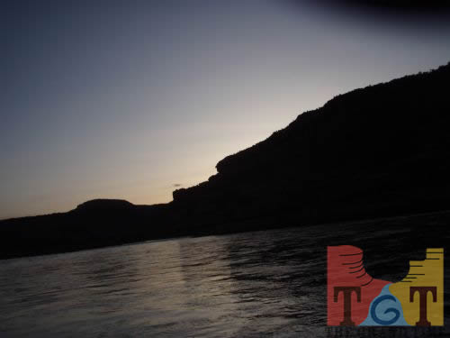 Mile 301
 Mile 302
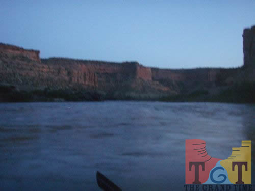 Mile 303
 Mile 304