The Grand Time
Tom's Journal
May 19 2007 - Day 4

This day was for the birds-many sizes and shapes.
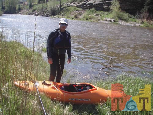
As Gary is in the process of catching a cold, I began solo from the County Seat of-you guessed it, Grand County-at about 10 am, and within just a couple miles entered Byers Canyon. The rocks forming its rapids are sharp and unnatural, as they were left behind by the blasting necessary to create the railroad on one side of the river and Colorado highway 40 on the other.
The first major drop created a “rooster tail” of water from some of these sharp rocks-it looked like it was possible to run it, but since I was alone I opted to walk around it. The rest of the canyon provided almost non-stop thrills and I stopped twice to scout drops that were blind from upstream.
All went well and soon the river became calm but swift for ten-plus miles. In this stretch there are many diversion dams placed by ranchers for irrigation ditches. While none were particularly dangerous, some were high enough that it was difficult to see from upstream which was the best route through.
Other obstacles were cables stretched from one shore to the other, most with signs warning of private property. Many were difficult to see because the cable blended in with the backdrop of water, and some were dangling dangerously in the water because the river’s level is about four to five times normal.
As I got within about five miles of the town of Kremmling, the river slowed dramatically and the variety of bird life was astounding. Unfortunately I don’t know how to identify many different species, but I saw pelicans, a large nest with bald eaglets, and many pair of geese with goslings. Several of these geese “parents” would try to get my attention by honking and swimming away from their families. One led me down the river for over half a mile.
At this point I came upon another kayaker, who turned out to be a Colorado Department of Wildlife officer named Mike Crosby. We paddled together for a couple miles and he was an entusiastic wealth of information about the river and its inhabitants. He advised that the river has not reached this high a level in over five years, and it is expected to increase even more. In the many years he had been doing his job, he had never seen another kayak on this part of the river. Still not sue if that is good news-
After travelling more than twenty miles, I was very happy to see my family at the Colorado highway #9 bridge at about 3pm. The Subway sandwich they brought with them tasted awfully good!
I was given incorrect information for yesterday’s entry-Kremmling is about 7,400 feet in elevation, which means Hot Sulphur Springs is about 7,750 feet in elevation and the river dropped about 350 feet during the stretch Gary and I did yesterday and about the same amount during the distance I traveled today. The water temperature was 46 degrees where I stopped, with sore shoulders and hands, for the day. It was good timing too, as rain soon began to fall.
 Mile 55
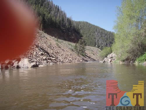 Mile 56
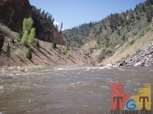 Mile 57
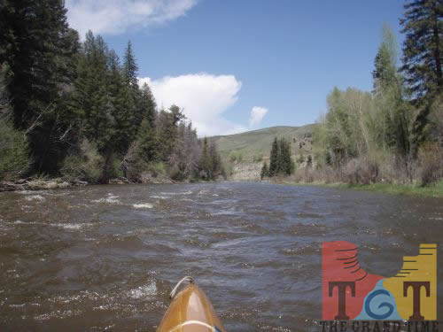 Mile 58
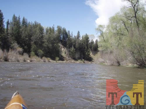 Mile 59
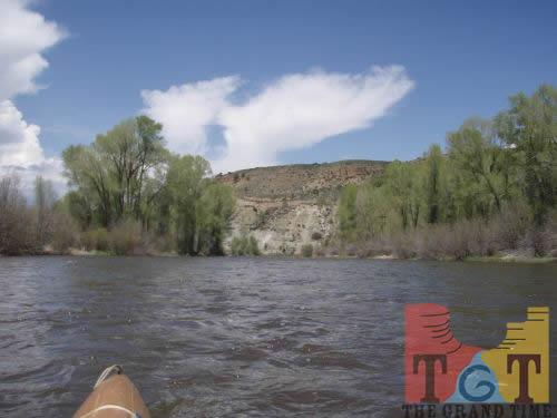 Mile 60
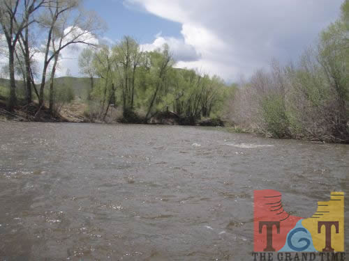 Mile 61
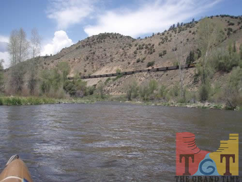 Mile 62
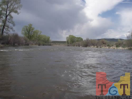 Mile 63
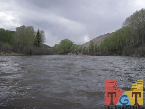 Mile 64
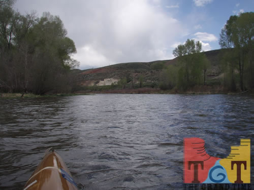 Mile 65
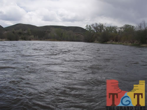 Mile 66
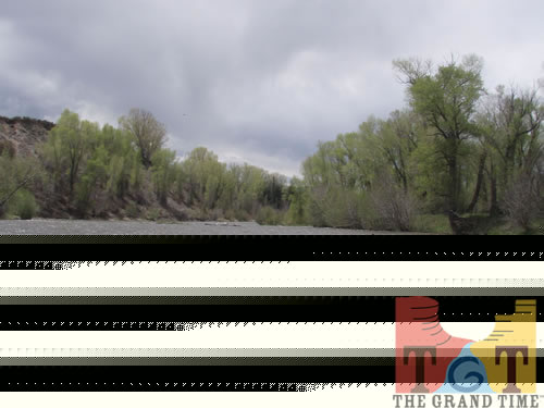 Mile 67
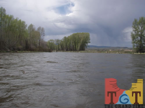 Mile 68
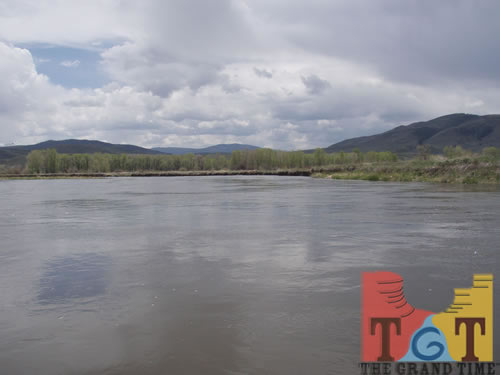 Mile 69
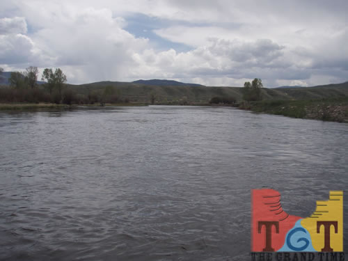 Mile 70
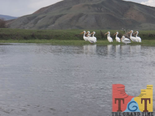 Mile 71
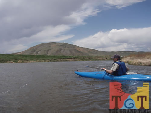 Mile 72
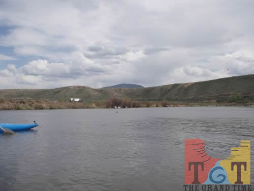 Mile 73
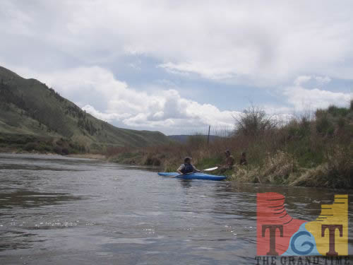 Mile 74
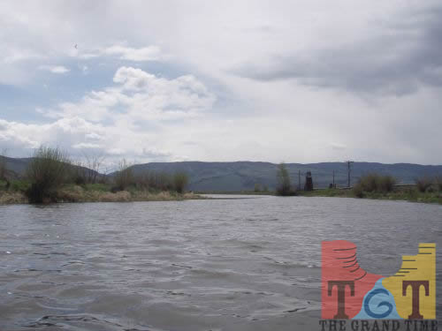 Mile 75