The Grand Time
Tom's Journal
May 18 2007 - Day 3

There has been only one constant along our journey to this point-excessive calorie burn. Today it came in the form of two miles of white water-which at 8:30 am rivals any caffeine product I know of- followed immediately by five miles of flat water paddling across Lake Granby.
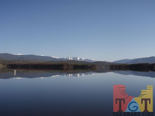
Our first taste of Lake Granby came at a certain bay where the river enters. During a time like this, what would such a bay be called? Grand Bay.
Next up on the agenda was a hike/run for eight miles over varied topography including Colorado state highway #34, a dirt road, then several miles of hillside bushwhacking topped off by dodging huge earthmoving equipment on our way back down to the river.
Our partners in crime included a pair of coyotes and an inquisitive antelope that ran along with us for almost a mile until it realized we had no better idea where we were going than it did.
The earth-bound segment of our trek was thanks to our respect for the privacy of land owners along the river below Lake Granby, which is really a reservoir.
Once Gary and I finally arrived at our planned re-embarkation point where Colorado highway #40 crosses the river, along with our support crew and some well-wishers we were greeted by a pelting rainstorm. After the worst of it passed we continued kayaking on our way beyond the confluence with the Fraser River and through yet another reservoir appropriately named Windy Gap.
Our time after that was blissful with one minor exception. A rancher was concerned that we may not be able to navigate a diversion dam that crossed the river a mile or so downstream from a bridge where he met us. After we assured him we could handle the situation without setting foot on the shore (a.k.a. trespassing) we went on.
Sure enough, I followed Gary through a passage in the dike that allowed us to safely, and more importantly in at least two eyes-legally- press on.
By 4 pm, after about 25 miles on land and water, we had descended about 700 vertical feet. At that point, in a light rain, we entered Hot Sulpher Springs, a place where in the 1860s John Wesley Powell first came to know the river he would later make famous. Nearby there is a peak he climbed that bears his name.
This quaint little town, including a resort with no less than 24 different hot pools, is nestled in a beautiful valley at an elevation of 7,400 feet, about the same as the South Rim of the Grand Canyon.
The river was 37 degrees as it entered Shadow Mountain Reservoir; 50 degrees where it exited. It became cooler (as did our hands) thanks to the many small tributaries, each of which are fed by snowmelt from the majestic mountains that, after today, will not be visible to us.
 Mile 31
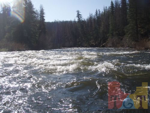 Mile 32
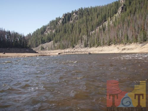 Mile 33
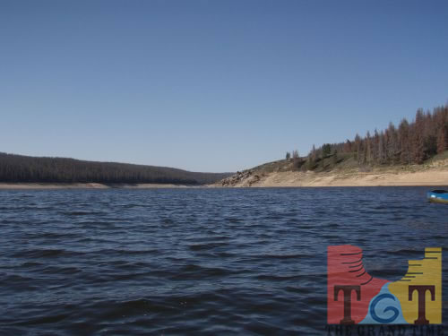 Mile 34
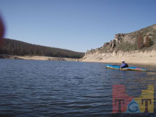 Mile 35
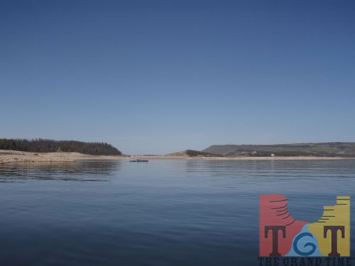 Mile 36
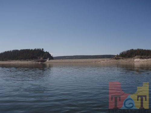 Mile 37
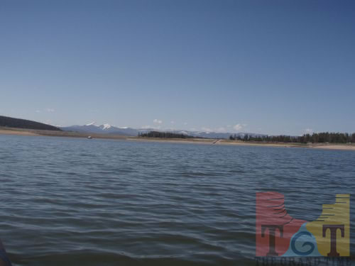 Mile 38
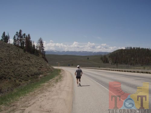 Mile 39
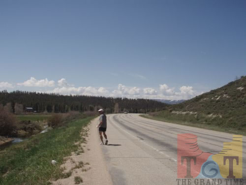 Mile 40
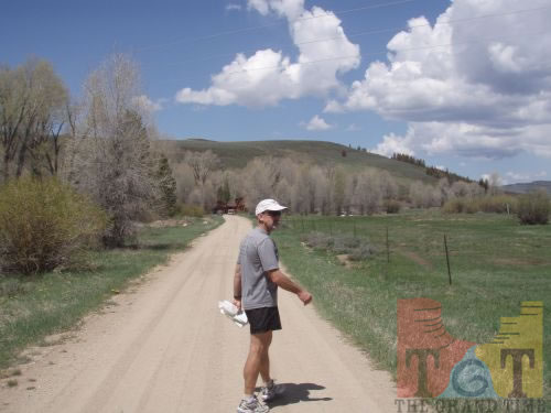 Mile 41
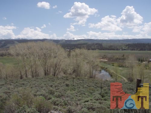 Mile 42
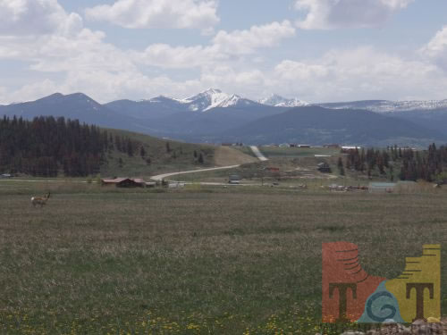 Mile 43
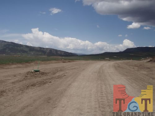 Mile 44
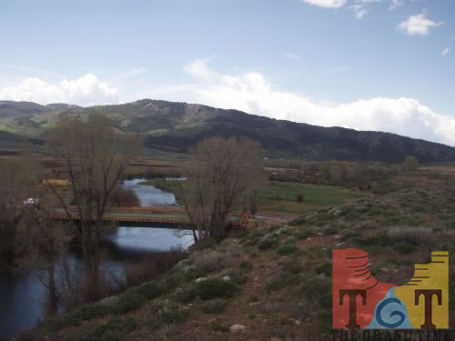 Mile 45
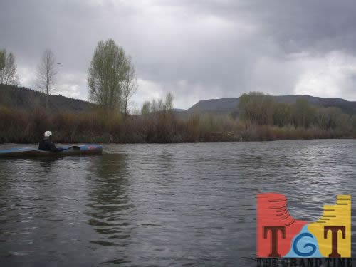 Mile 46
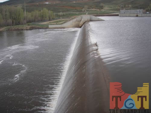 Mile 47
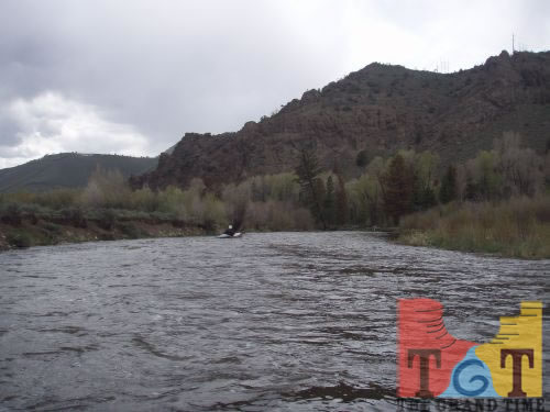 Mile 48
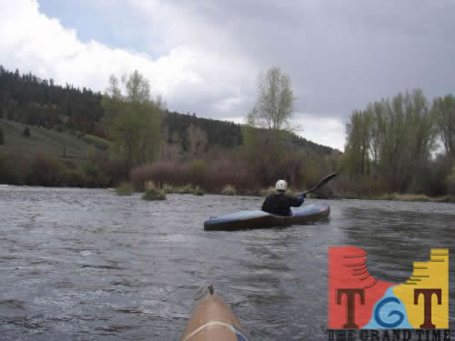 Mile 49
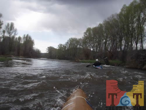 Mile 50
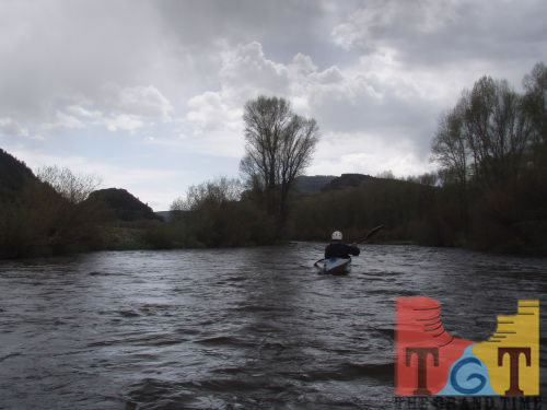 Mile 51
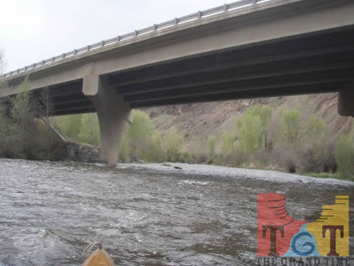 Mile 52
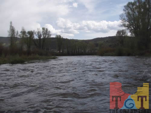 Mile 53
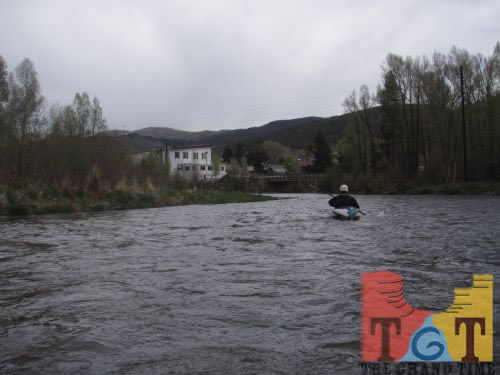 Mile 54