The Grand Time
Tom's Journal
May 21 2007 - Day 6

This was by far the longest day yet.
At just after 10 am, I set out alone from State Bridge under sunny skies. I was thankful for my award-winning polarized sunglasses courtesy of Zeal Optics.
The river was playful with more drop than I expected. Within about an hour and a half a thunderstorm made its presence known. I stopped to don my dry top just in time for the first large rain drops to hit.
As I re-entered the current, a very strong upstream wind began to blow. It felt like I was making no progress, but my GPS unit showed otherwise, so I continued. Thankfully the storm only lasted about forty minutes and clear skies soon returned.
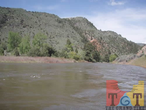
The current was swift with class 2 and low 3 rapids interspersed with calm sections. By early afternoon another storm repeated the sequence of the morning’s challenge, especially the wind.
Soon after that, the river presented the day’s biggest challenge, a single drop with a large hole in the middle near a place called Burns. While it was in a very visible place near the county road that runs along the river, the place was deserted. I was thankful to run it successfully on the right side, although the current spun me around and I ran the worst of it backwards.
The incredible scenery and brisk pace disguised the mounting fatigue in my arms and shoulders. When I finally stopped to eat some energy bars, I noticed it was painful to raise my hands above my head.
With quite a bit less power in each paddle stroke, I again set off. Within about another hour, yet a third storm-with just as much upstream wind-blew in. This time, I was more concerned with not being blown over than making progress. While the storms impeded my progress, their aftermath provided some delicious sights and smells.
As you may know, the word “Colorado” is borrowed from Spanish words meaning “the color red.” Many of today’s miles ran between deep red sedimentary cliffs that no doubt contribute to the origin of the river’s name. In fact, the journal kept by Harold Leich during his attempt at this same expedition in 1933, referred to this region as Rouge Canyon.
Had it not been for the ever-changing scenery and company of many majestic Blue Herrons, the fatigue and mounting pain would have dominated my thoughts. For the last five of over forty seven of today’s miles, I only paddled when necessary to maintain course. At about 5:30 pm I was overjoyed to see my destination, Dotsero, where Interstate 70 meets the river.
Dotsero’s unusual name came from its origin as the place where two railroads met-the mileage on their maps began here at “dot zero”. The section of tracks running upstream on the Colorado was under construction when Leich floated through here in 1933, but the only people I saw all day were two fishermen.
At just after 10 am, I set out alone from State Bridge under sunny skies. I was thankful for my award-winning polarized sunglasses courtesy of Zeal Optics.
The river was playful with more drop than I expected. Within about an hour and a half a thunderstorm made its presence known. I stopped to don my dry top just in time for the first large rain drops to hit.
As I re-entered the current, a very strong upstream wind began to blow. It felt like I was making no progress, but my GPS unit showed otherwise, so I continued. Thankfully the storm only lasted about forty minutes and clear skies soon returned.
The current was swift with class 2 and low 3 rapids interspersed with calm sections. By early afternoon another storm repeated the sequence of the morning’s challenge, especially the wind.
Soon after that, the river presented the day’s biggest challenge, a single drop with a large hole in the middle near a place called Burns. While it was in a very visible place near the county road that runs along the river, the place was deserted. I was thankful to run it successfully on the right side, although the current spun me around and I ran the worst of it backwards.
The incredible scenery and brisk pace disguised the mounting fatigue in my arms and shoulders. When I finally stopped to eat some energy bars, I noticed it was painful to raise my hands above my head.
With quite a bit less power in each paddle stroke, I again set off. Within about another hour, yet a third storm-with just as much upstream wind-blew in. This time, I was more concerned with not being blown over than making progress. While the storms impeded my progress, their aftermath provided some delicious sights and smells.
As you may know, the word “Colorado” is borrowed from Spanish words meaning “the color red.” Many of today’s miles ran between deep red sedimentary cliffs that no doubt contribute to the origin of the river’s name. In fact, the journal kept by Harold Leich during his attempt at this same expedition in 1933, referred to this region as Rouge Canyon.
Had it not been for the ever-changing scenery and company of many majestic Blue Herrons, the fatigue and mounting pain would have dominated my thoughts. For the last five of over forty seven of today’s miles, I only paddled when necessary to maintain course. At about 5:30 pm I was overjoyed to see my destination, Dotsero, where Interstate 70 meets the river.
Dotsero’s unusual name came from its origin as the place where two railroads met-the mileage on their maps began here at “dot zero”. The section of tracks running upstream on the Colorado was under construction when Leich floated through here in 1933, but the only people I saw all day were two fishermen.
 Mile 101
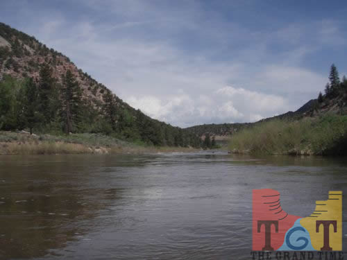 Mile 102
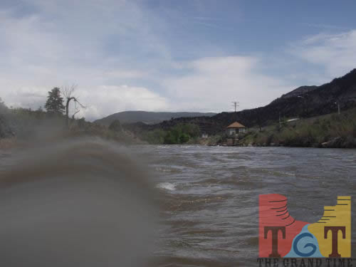 Mile 103
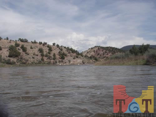 Mile 104
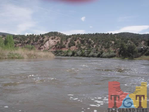 Mile 105
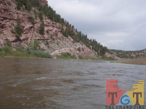 Mile 106
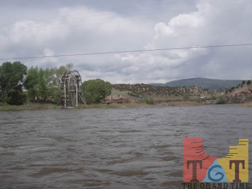 Mile 107
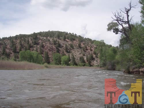 Mile 108
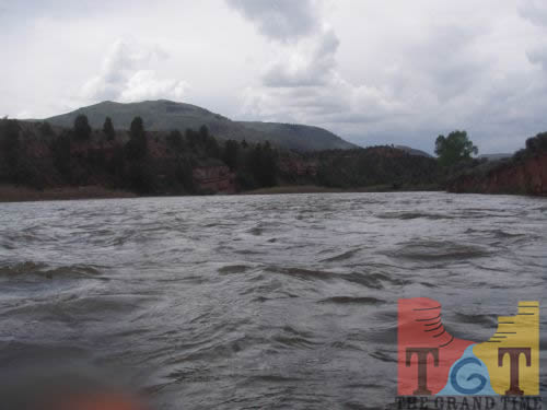 Mile 109
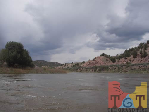 Mile 110
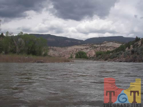 Mile 111
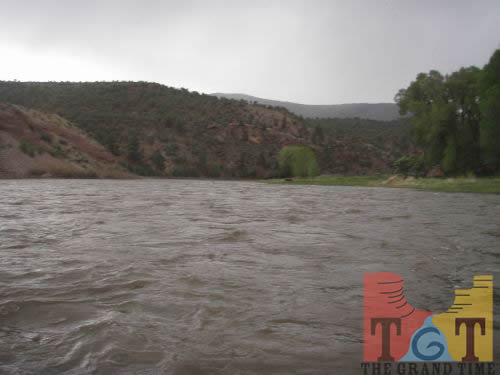 Mile 112
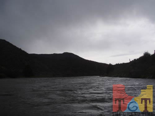 Mile 113
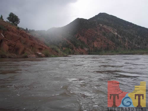 Mile 114
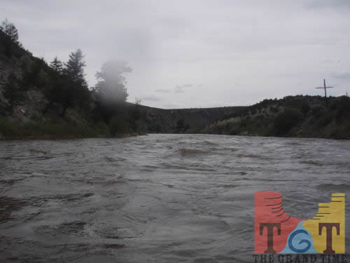 Mile 115
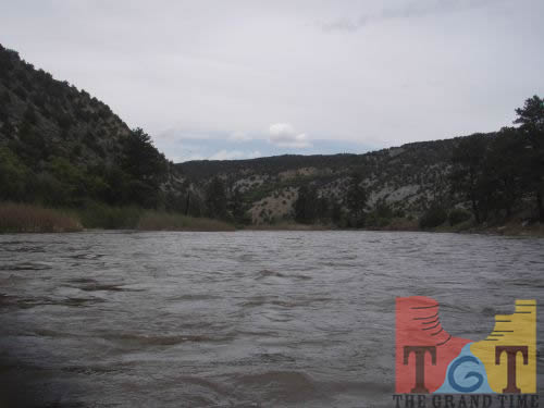 Mile 116
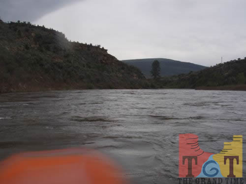 Mile 117
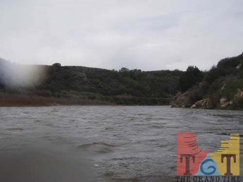 Mile 118
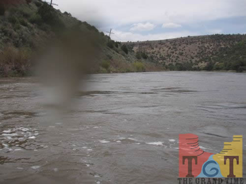 Mile 119
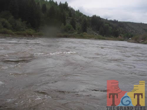 Mile 120
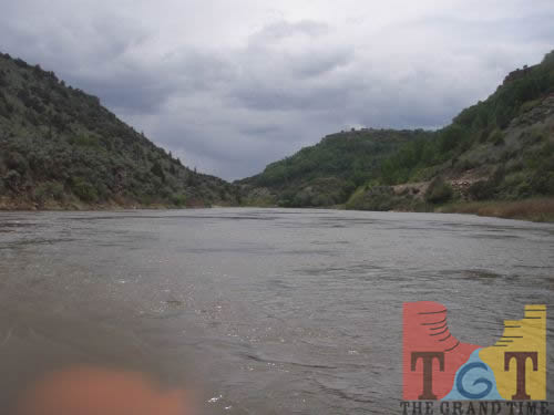 Mile 121
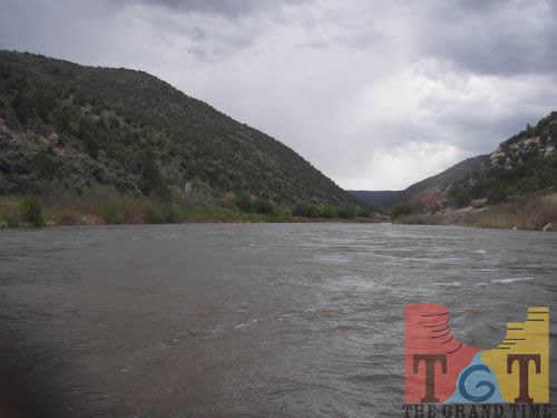 Mile 122
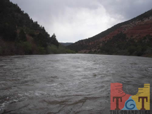 Mile 123
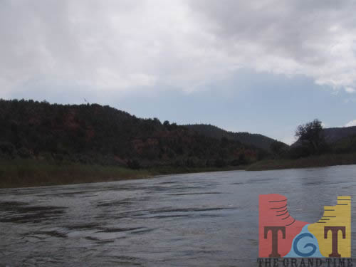 Mile 124
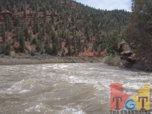 Mile 125
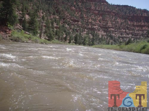 Mile 126
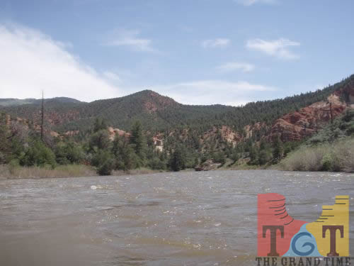 Mile 127
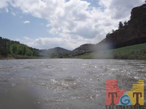 Mile 128
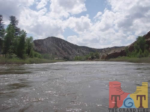 Mile 129
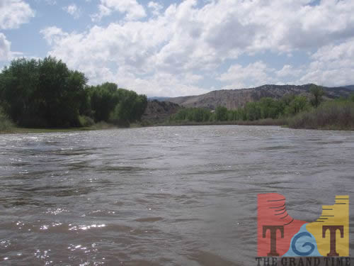 Mile 130
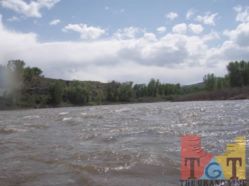 Mile 131
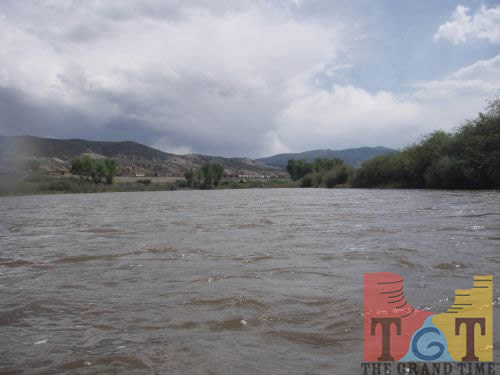 Mile 132
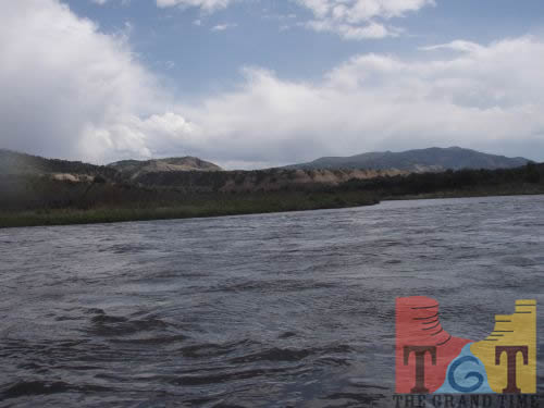 Mile 133
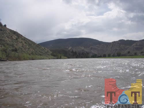 Mile 134
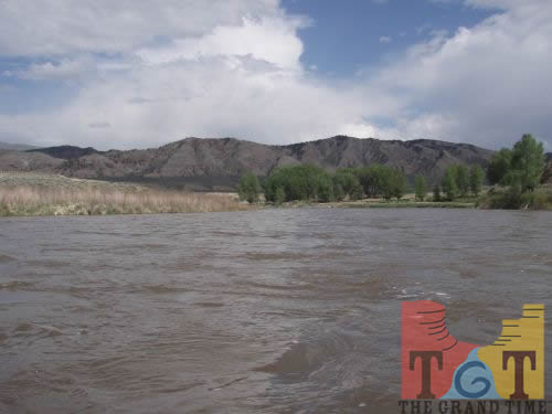 Mile 135
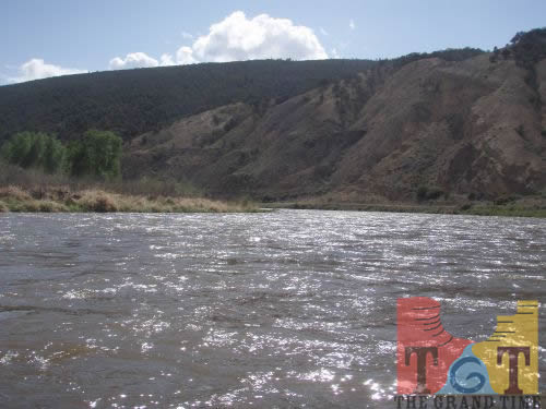 Mile 136
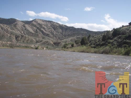 Mile 137
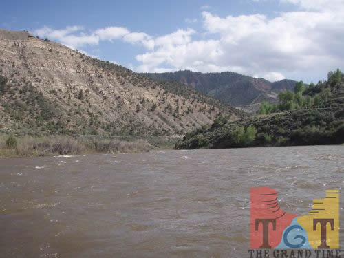 Mile 138
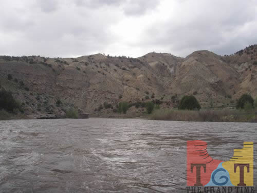 Mile 139
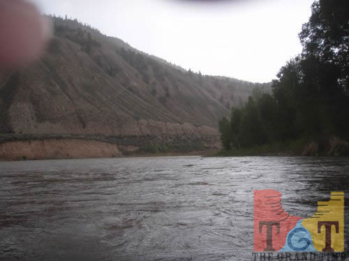 Mile 140
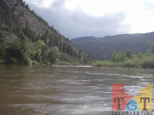 Mile 141
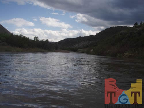 Mile 142
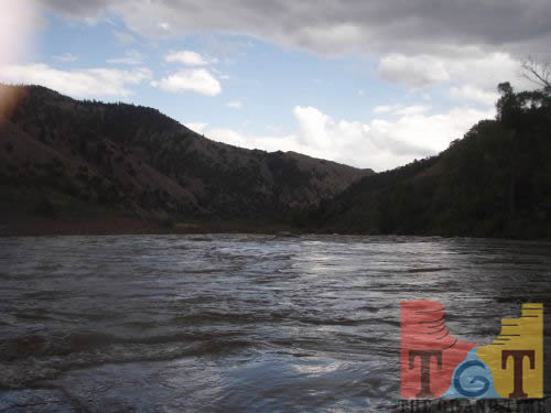 Mile 143
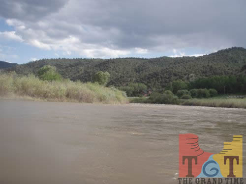 Mile 144
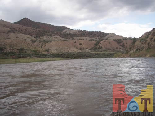 Mile 145
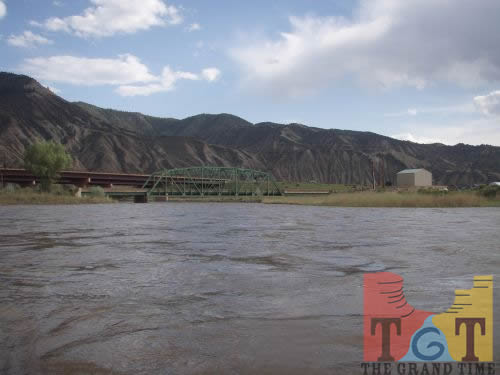 Mile 146